Depth to Water
October 16, 2016
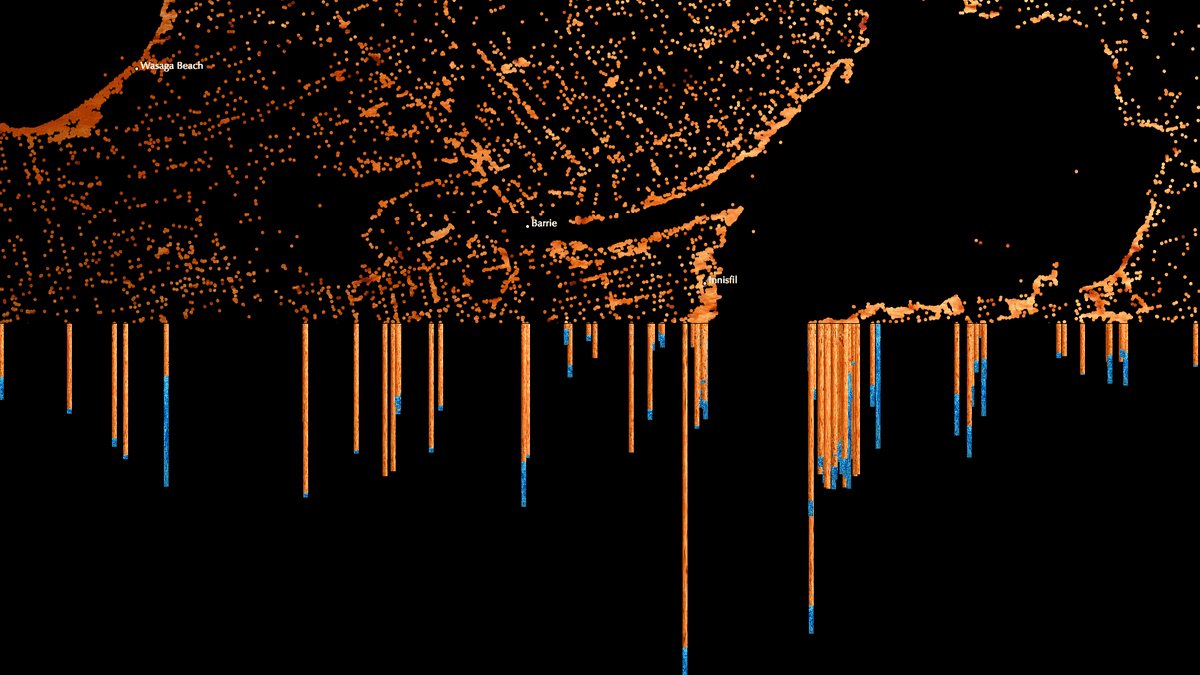
Wasaga-Beach as seen through drilled well data from Southern Ontario
Depth to Water was created for the 17th Canadian National Conference on Drinking Water in Ottawa, Ontario to showcase how 367,089 private-well water data points can map the geography of Southern Ontario, Canada. Additionally, Depth to Water displays the depth at which water was found for each well at a 100-meter scale revealing a slice-view of the aquifer. Data points roll into view from above, and in waterfall fashion, split into a cross section of the depth for each well midway through.
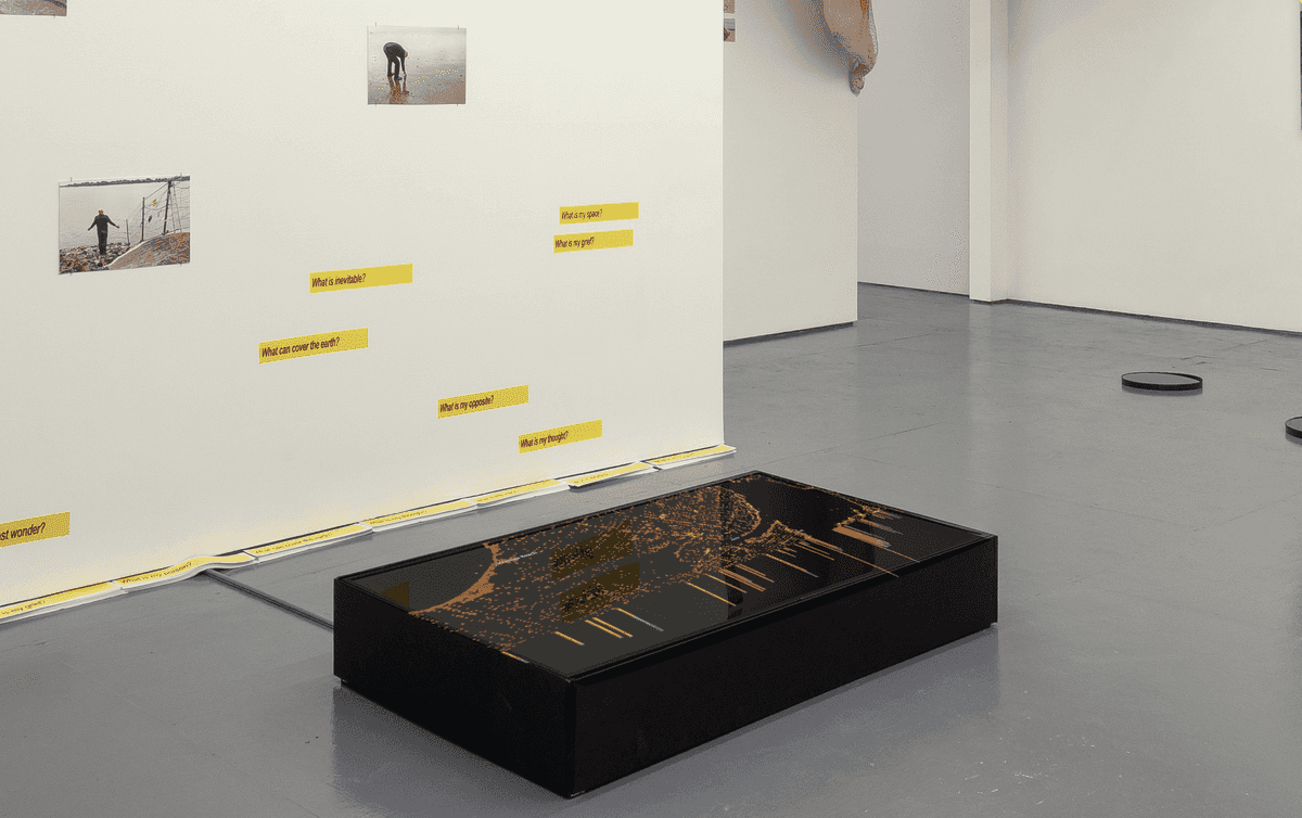
The project is presented as a looping 20 minute video and displayed on a flat-lying screen, allowing the viewer to experience this from above.
This project connects to a MySQL database containing all the well data. As the landscape shifts across the screen, data is queried for the next section and plotted off canvas before entering into view.
Exhibitions
In addtion to 17th Canadian National Conference on Drinking Water in Ottawa, Ontario, Depth to Water was also shown as part of the following exhibitions:
- Catenations, Tiger Strikes Asteroid Gallery, New York, 2020
- Submerged, Sciart Initiative, New York, 2018
- Unapologetically Expedient, Agitated Plovers, Kingston, 2014
Installation of Depth to Water at the Tiger Strikes Asteroid Gallery's Catenations Show, New York, 2020