Geophysics is about developing the process and technology to measure the physical properties of the Earth to better determine the structure that lies beneath. These properties include Seismic (sound), gravity, magnetism and electromagnetism.
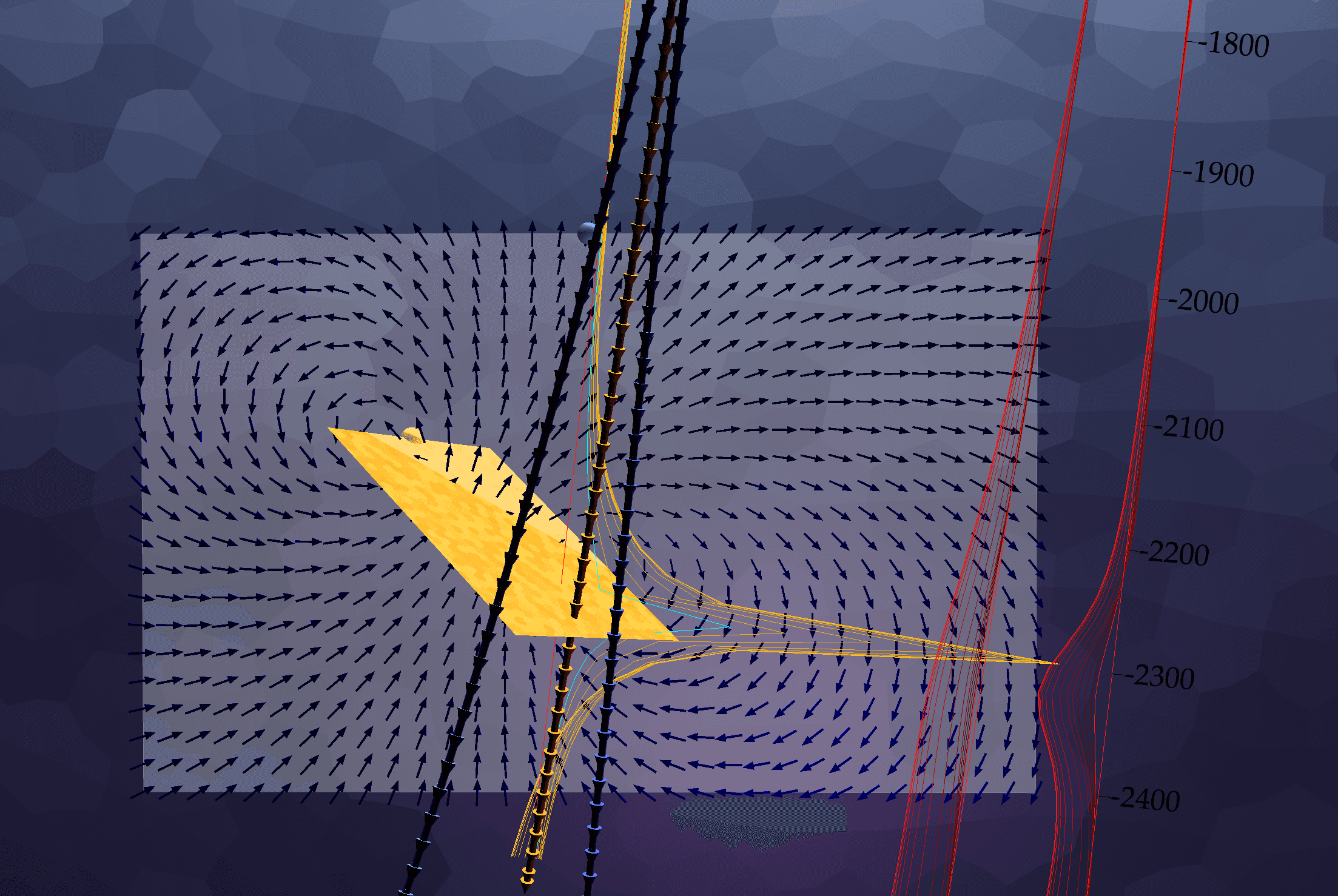
Multiloop, 3D Visualizer, October 18, 2018

Multiloop is forward modelling software that helps geophysicists visualize electromagnetic responses from conductive meshes. This software is mainly used as a consulting tool that models data collected in the field and compares this to synthetic responses. By carefully noting the differences…
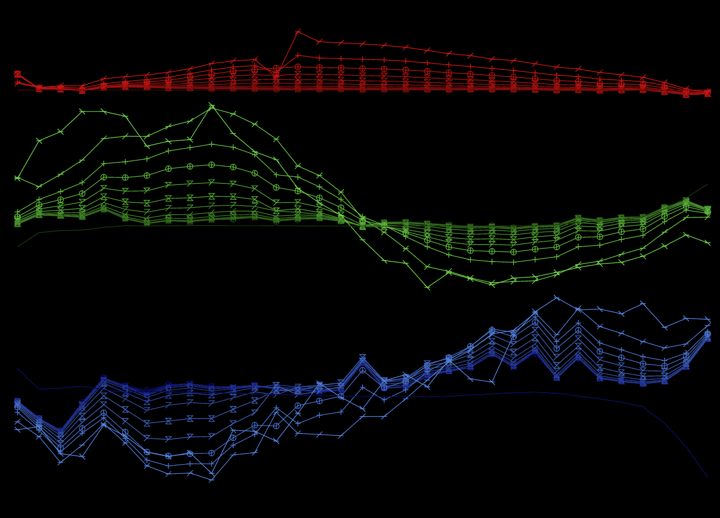
Electromagnetic Plotter, October 18, 2016

This is a web application that plots electromagnetic (EM) responses from imported files. Referred to simply as "plotter", it is now used as a consulting tool and by clients to plot time domain UTEM data in a web browser. Plotter needed to be capable of plotting downhole and surface data, and orient…